
Posted by naomimillner
27 September 2019By Monica Amador, with Naomi Millner
Parque Natural Regional Vista Hermosa de Monquentiva
Vereda Monquentiva – Guatavita
Type of forest: Paramo and High Andean Mountains
Inhabitants: 200 approximately
The Sociocultural Component of the BioResilience project aims to explore and analyze the human practices that have historically participated in the transformation of the Andean forests as we know them today. We have designed an ethnographic approach inspired by decolonial theories in order to understand the territories our colleagues are investigating in their socioecological complexities. Meanwhile, we also facilitate dialogues and participate in discussion with the various actors that inhabit these forests. Our overall aim is to contribute to the implementation of public policies for environmental protection. To this end, BioResilience is working on holding spaces for discussion in relation to the design and implementation of environmental management plans in two recently declared regional parks: the Serranía de las Quinchas Regional Park (2008) and the Monquentiva Regional Park (2017). In order to understand the complexity of our intervention, here we introduce the socio-environmental problematics that characterise the territories of our study.

Picture 1. Image of the Valley of Monquentiva, picture taken by Mónica Amador-Jiménez, BioResiliencia Project, University of Bristol, June 2019.
Monquentiva is a vereda [settlement] located in a valley surrounded by hills. It is close to the Pantano Martos, a bog that used to be a sacred lagoon of the Muiscas, a pre-Hispanic indigenous group, which has been drained several times (by people looking for Muisca gold or to expand pastures for cattle ranching). This settlement is constituted by a community that is made up predominantly of one large family who have populated this valley surrounded by the Paramo and the Pantano over the past century. The community is highly organized and the economic and social life of the village is articulated around a dairy cooperative focused on milk production (Colega). In the settlement we can also find haciendas [large farms], often owned by wealthy individuals from Bogota, that have been established across the last 50 years alongside the community of humble peasants. Such powerful people have influenced both the formation of the Colega dairy cooperative, and the definition of the boundary between native forest and pastures for livestock.

Map. 1. This map was developed by the NGO Conservación Internacional, as part of the biophysical and social diagnosis to support the declaration of Regional Natural Park VistaHermosa of Monquentiva. December, 2016
Today’s generation of hacendados [large landowners] have differentiated relations with the peasants. Some enact paternalistic relations of cooperation and guidance, typical of the context of highlands mountain in the rural areas of the Cundiboyacence plateau, where conservative values are embedded in the social relations that have historically unfolded the region. Others are distant to the dynamics of the peasant´s organization and daily life.

Picture.2. Image of peasants of Monquentiva working hard in the trades of caring for dairy cows. Picture taken by Mónica Amador-Jiménez, August 2019 (image reproduced with permission)
An example of the latter is the del Mar family. This family have successively attempted to cut down an old pine forest in the area of nearly 500 hectares, an extraction of timber that has generated significant frictions with the peasants, and is rapidly transforming the landscape of Monquentiva.

Picture.3. Image of the of the cut of the pine forest that is intertwined with the native forest of the Monquentiva regional park. Picture taken by Mónica Amador-Jiménez, May 2019
Despite this friction, the community of Monquentiva has been characterized as a peaceful one; there is no current violence involving its inhabitants. However, in the long and intricate history of the internal armed conflict in Colombia the community remembers that between 1994 and 2002 the community was shaped by the presence of FARC guerrillas, with many cases of kidnapping, and the territorial control of large areas, such as of the corridors connecting the area with the eastern plains. However, the local people were never captured or convinced to participate in the guerrilla or in any other illegal armed group. The presence of guerrillas was eliminated during the Uribe I government, long before the peace agreement with the FARC-guerilla. The people feel that their lives have improved after the guerrillas left the area, and at the present there is no presence of armed groups, or threat from similar.
In 2017 the territory in which Monquentiva is located was declare a Regional Natural Park. Today the Regional Park covers 4.282 hectares. The decision was taken by the Ministry of Environment through the Cundinamarca Autonomous Regional Corporation (CAR), and enforced through the Agreement 27 of 19th of September of 2017. Before and after the declaration, efforts have thus been made to reforest with native species — some of which have taken effect, and others not. Either way, some previously abandoned land has now reemerged with species as diverse fragile as the frailejón [“big monks” or Espeletia, a genus of perennial shrubs in the sunflower family that grow well on the high paramo]. The future of the paramo has remained in question however. During the elaboration of the first diagnosis of its conservation status, scientists from state institutions recommended that it be filled again with water to become a lake, as it was originally in colonial times. Others argue that a new ecology has already been constituted in the area and that this ecosystem should be protected, since it already has its own “resilience”. This last opinion is the one that has ultimately triumphed. Conservation has thus been latterly oriented towards protecting the emergent ecosystem (very different from the initial one), instead of returning the area to its original state. This place and process has inspired us to think of a broader notion of environmental resilience than that usually employed in the ecological sciences, to include the way that species distributions change and develop through time, becoming entangled in human landscapes and cultural practices. Resilience is not always about returning to an original baseline.

Picture 4. Image of what once was the Martos Swamp, and before them the sacred Lagoon of Guambita of the pre-Columbian indigenous group Guatavitas (Muisca). Picture taken by Mónica Amador-Jiménez May 2019.
The spirit of the indigenous Muiscas is, nevertheless, still felt in this place, and is present in the stories and anecdotes that are told by the locals. Monquentiva is itself a Muisca word which means: “Lord Captain of the Forest Bath” [Señor Capitan del Baño de los Bosques], a phrase that describes and elicits the pre-Columbian history of the place, because Monquentiva is in fact a place full of water, clouds that wrap your body. Being in Monquentiva you feel that you breathe water; its rivers overflow, and the permanent rains of the Andean paramo-high forest soak the landscape — this is a place where the forest is bathed, and where the memory of the Monquentiva Chieftain is still felt.
Currently, the Project BioResiliencia/BioResilience is focused on accompanying and facilitating dialogue among the farmers of Monquentiva, who are organized in a Community Action Board and the Colega Cooperative; the state entities such as the Mayor’s Office of Guatavita in its area of environmental planning; the regional autonomous corporation of Cundinamarca (CAR); and the NGO Conservación Internacional. A key focus of this interaction is to inform the design of an Environmental Management Plan for the Regional Park (including Diagnosis, Management and Projects for environmental sustainability), since although the park was declared two years ago, it does not have an Environmental Management Plan. This affects the people who live in Monquentiva as well as the future of the forests. By participating in these conversations and sharing our data from across the components we hope to support the preservation of this special forest of the paramo-high Andean forest, in a sustainable relationship with the human practices that have historically intertwined the territory.

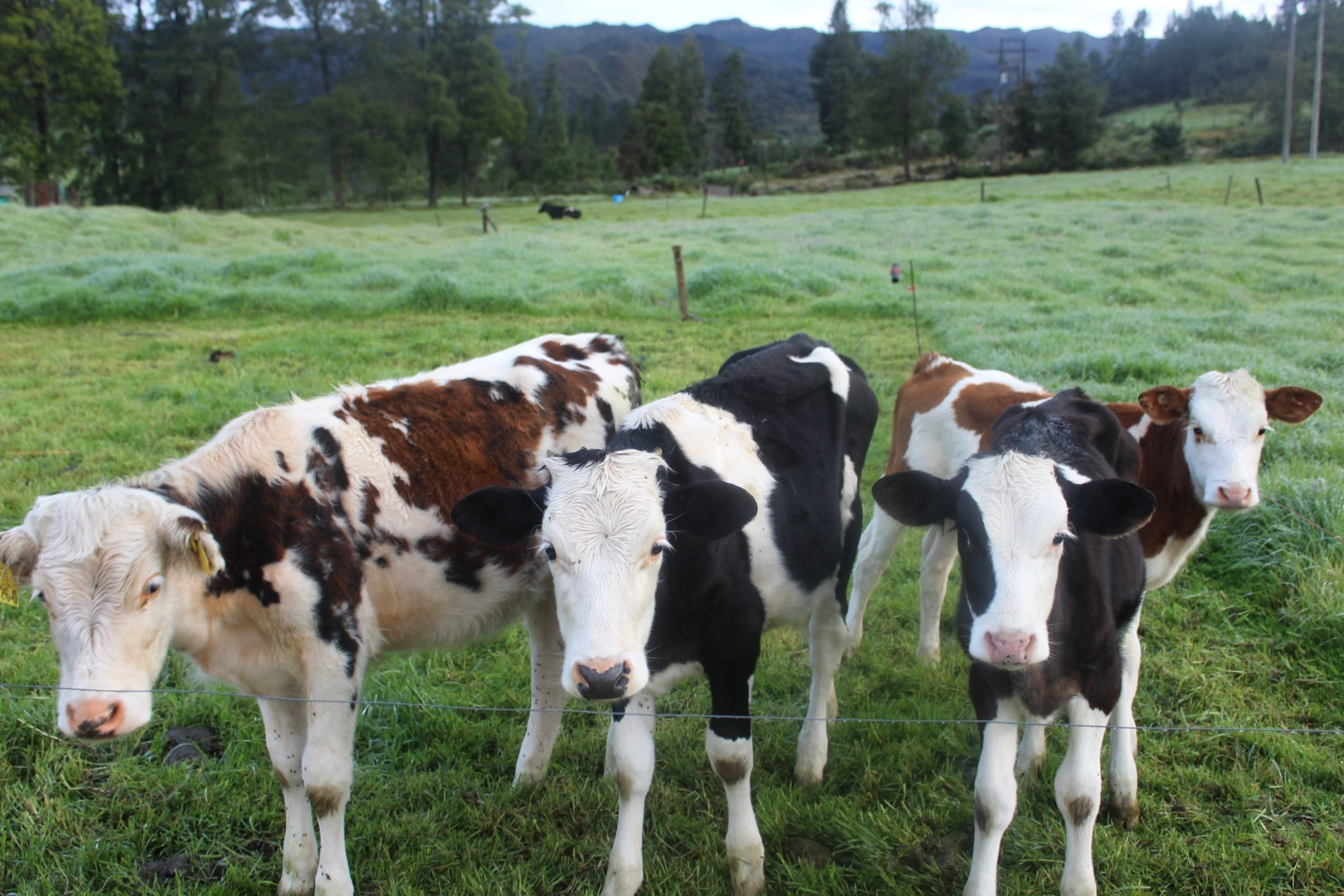
Picture.5. image of calves of the Colega cooperative, in the background you can see the pine forest and the marsh swamp at a greater distance behind the cows. Picture taken by Mónica Amador-Jiménez, May 2019