

Yimei Chen is a third-year PhD student in human geography, University of Exeter. Her research is funded by the Chinese Scholarship Council and the University of Exeter. Her research interests centre on platform urbanism. Below, she reflects on designing and delivering a two-day Cartography Workshop for researchers new to GIS, supported by a Researcher-led Initiative (RLI) award.
Maps are everywhere in research. Whether you study flood risk, public health, urban greenspace or literary history, there often comes a moment when you need to show where something happens — and a well-made map can communicate in seconds what a table of coordinates never will. Yet the software behind professional maps can feel intimidating. Geographic Information System (GIS) tools have a steep learning curve, and much of the available training assumes prior experience. I kept meeting fellow researchers who wanted to make their own maps but had nowhere to start. With the support of a Researcher-led Initiative (RLI) award, I decided to create that starting point myself: a hands-on, two-day Cartography Workshop designed for complete beginners
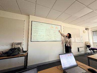
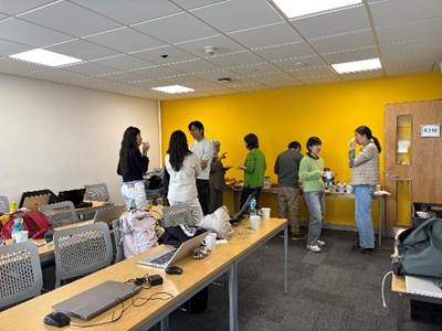
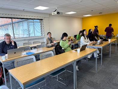
The workshop ran on 8–9 June 2026, taking 15 participants from their very first click in ArcGIS Pro through to designing polished, publication-ready maps. Day one included an introductory session about cartography, and a practical session covered fundamental operations of ArcGIS Pro — navigating the interface, importing geographic data, managing layers, applying symbolisation, managing the layout of maps, and exporting maps in ArcGIS Pro. Day 2 sessions built up to map composition and visual refinement using Adobe Photoshop and Illustrator. All two-day sessions were delivered by Yimei.
Workshop 1: Processing basemaps in ArcGIS Pro
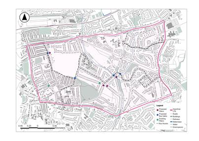
On Day 1, participants firstly introduced themselves and the way they plan to use and create maps in their own research. Then participants learned what cartography is; the structure and design of maps; colour theory of cartography; data formats; lettering; labelling, and analysis of maps. After the lunch break, participants learned the fundamental operations of ArcGIS Pro through creating a low-traffic neighbourhood map of Heavitree in ArcGIS Pro. In this procedure, participants extracted more than 11,000 features from OpenStreetMap — buildings, roads, railways, waterways and green spaces — and prepared them as ready-to-use basemap layers.
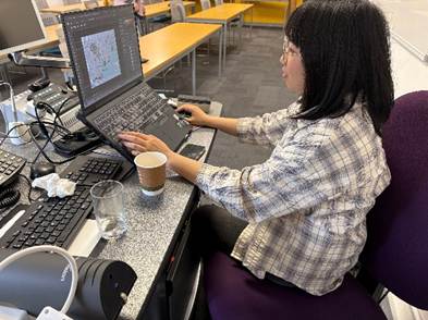
Workshop 2: Creating a Map with Photoshop and Illustrator
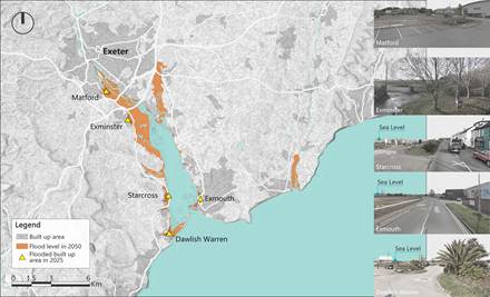
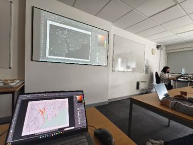
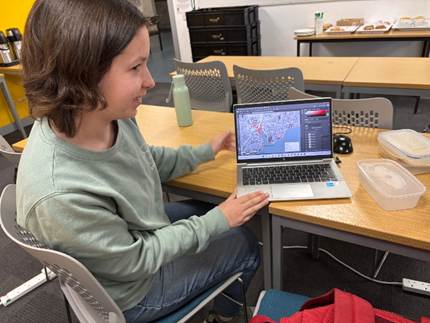
In Day 2, participants learned the mapping workflow from ArcGIS Pro to Photoshop and Illustrator. They first learned how to use fundamental functions and tools of Adobe Photoshop and Illustrator. Then, they used base maps exported from ArcGIS Pro to create a Predicted Flooding Map of 2050 by applying tools of Photoshop and Illustrator. This mapping workflow can be used in drawing maps of their own research.
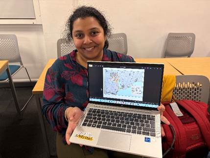
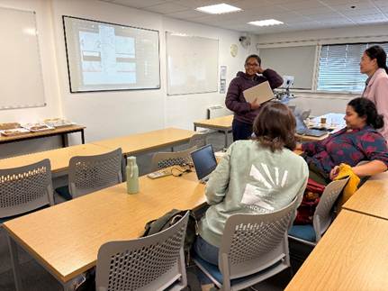
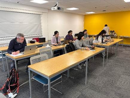
After the workshop, according to participants’ feedback, it was clear that they actually need more follow-up events for answering their own specific questions. So, I plan to produce a series of screen-recorded video tutorials that respond directly to the questions submitted, walking through workflows in ArcGIS Pro, Photoshop, and Illustrator (once a week or two weeks), with detailed timestamps so each person can jump straight to the part they need.
Personal Reflections
These are my reflections from delivering this workshop. First, don’t be too ambitious. I taught multiple mapping tools across the two days — ArcGIS Pro, Photoshop and Illustrator — but I came to realise that focusing on just one is more than enough, as it allows participants to become properly familiar with that single piece of software. Second, rather than delivering every session myself, it would be worth inviting other professionals from the geography department to give a session on the theoretical side of cartography. This way, participants can hear different voices, perspectives, and thoughts. Finally, if an event provides refreshments and requires confirming numbers in advance for catering, start advertising as early as possible and close registration several days before the event to allow enough time for ordering refreshments (It needs to be ordered at least 48 working hours in advance on Fresh Ideas (University of Exeter’s catering company)).