
Posted by Ted Feldpausch
28 April 2021Fire is an important cause of disturbance in terrestrial ecosystems and can has a major impact on biodiversity. We evaluated the effect of fire regime on species richness and tree basal area in southern Amazon forest using Landsat and PALSAR data.
Long-term forest plot monitoring in Mato Grosso state (Brazil) indicates species richness was lowest in plots that have been burned multiple times and there was ncreasing species richness with time since the last fire. Furthermore, there is a strong positive relationship between species richness and basal area in unburnt and once-burnt plots, especially in the large tree stratum. We used high-resolution Landsat and PALSAR data at varying spatio-temporal (single and bi-temporal) scales to (a) assess Vegetation Indices (VI) sensitive to varying fire severity for different tropical forest species; (b) quantify fire severity and basal area/ biomass changes (1999, 2006, 2010, 2013); and (c) quantify the sensitivity of L-band backscatter to fuel load, moisture content and basal area/ biomass dynamics.
Landsat’s red, NIR, SWIR bands showed better burnt area detection (Fig 1). Multiple and recent burnt results in increased tree mortality with low canopy height and reduced basal area (Fig 2).

Fig 1. Burnt area map in Mato Grosso, southern Amazonia

Fig 2. Fire frequency (Prestes et al. 2020)
SR, NDMI, CI Green and NBR2 were found to be sensitive to fire frequency with low reflectance values; canopy height and basal area changes in seasonal evergreen forest of Mato Grosso (Brazil) (Fig 3).

Fig 3. Sensitivities of VIs to fire frequency
The findings were presented at the 2021 European Geophysical Union conference: https://meetingorganizer.copernicus.org/EGU21/EGU21-9834.html
Reference: Ramesh K. Ningthoujam, Nayane C.C.dos S. Prestes, Klécia G. Massi, Michael Keller, Ted R. Feldpausch, Martin Wooster, Sandy P. Harrison & I. Colin Prentice: Fire-related forest properties observed using Landsat and radar data, EGU General Assembly 2021, online, 19–30 Apr 2021, EGU21-9834, https://doi.org/10.5194/egusphere-egu21-9834, 2021.

Fig. 4 Fire consumes Amazon forest vegetation around a tree seedling (photo credit: Paulo Brando)
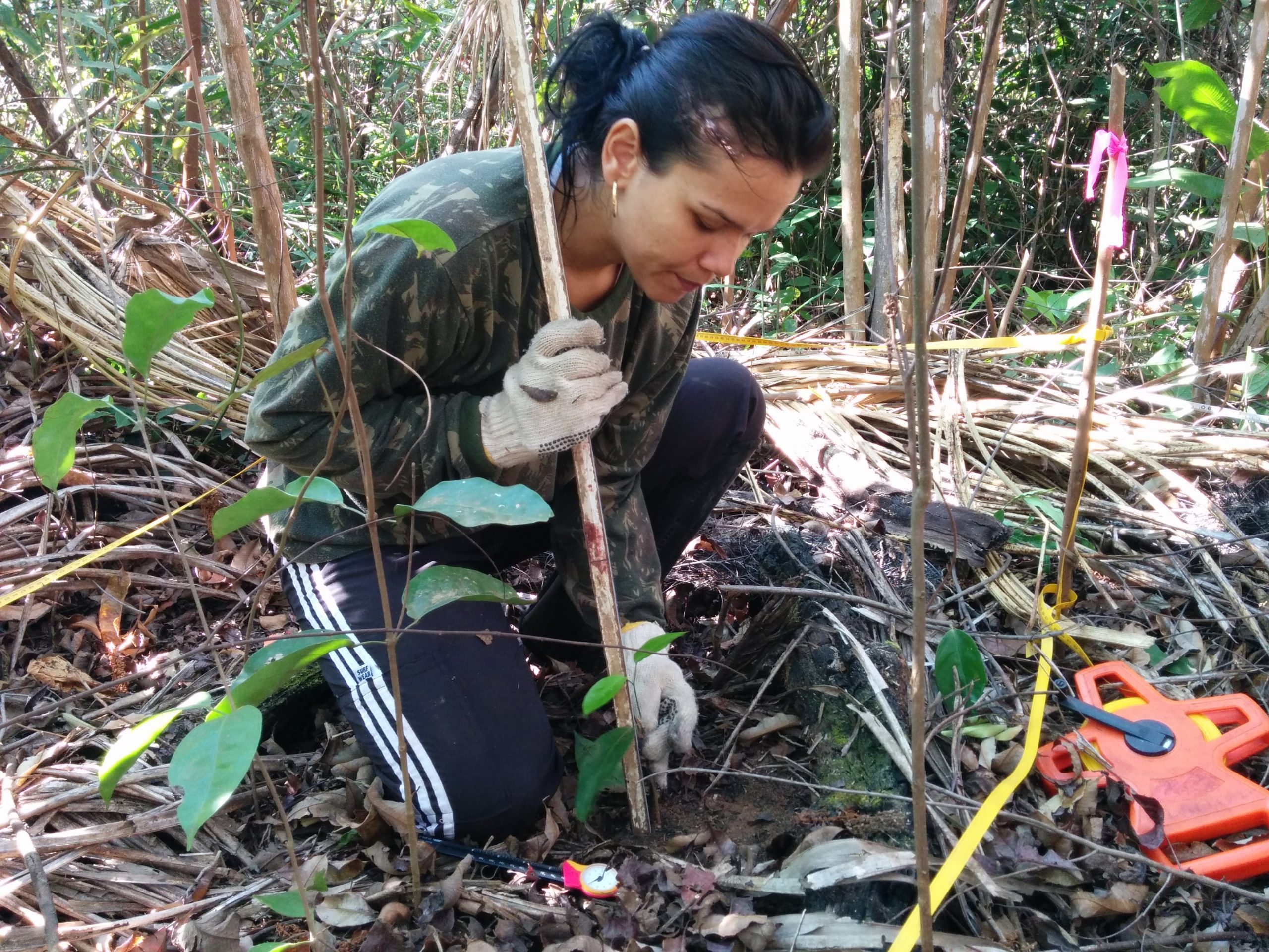
Header image: Nayane Prestes, UNEMAT-Brazil, measures seedlings in a burned forest in Mato Grosso, southern Amazonia (photo credit: Ted R. Feldpausch)