
Posted by Ted Feldpausch
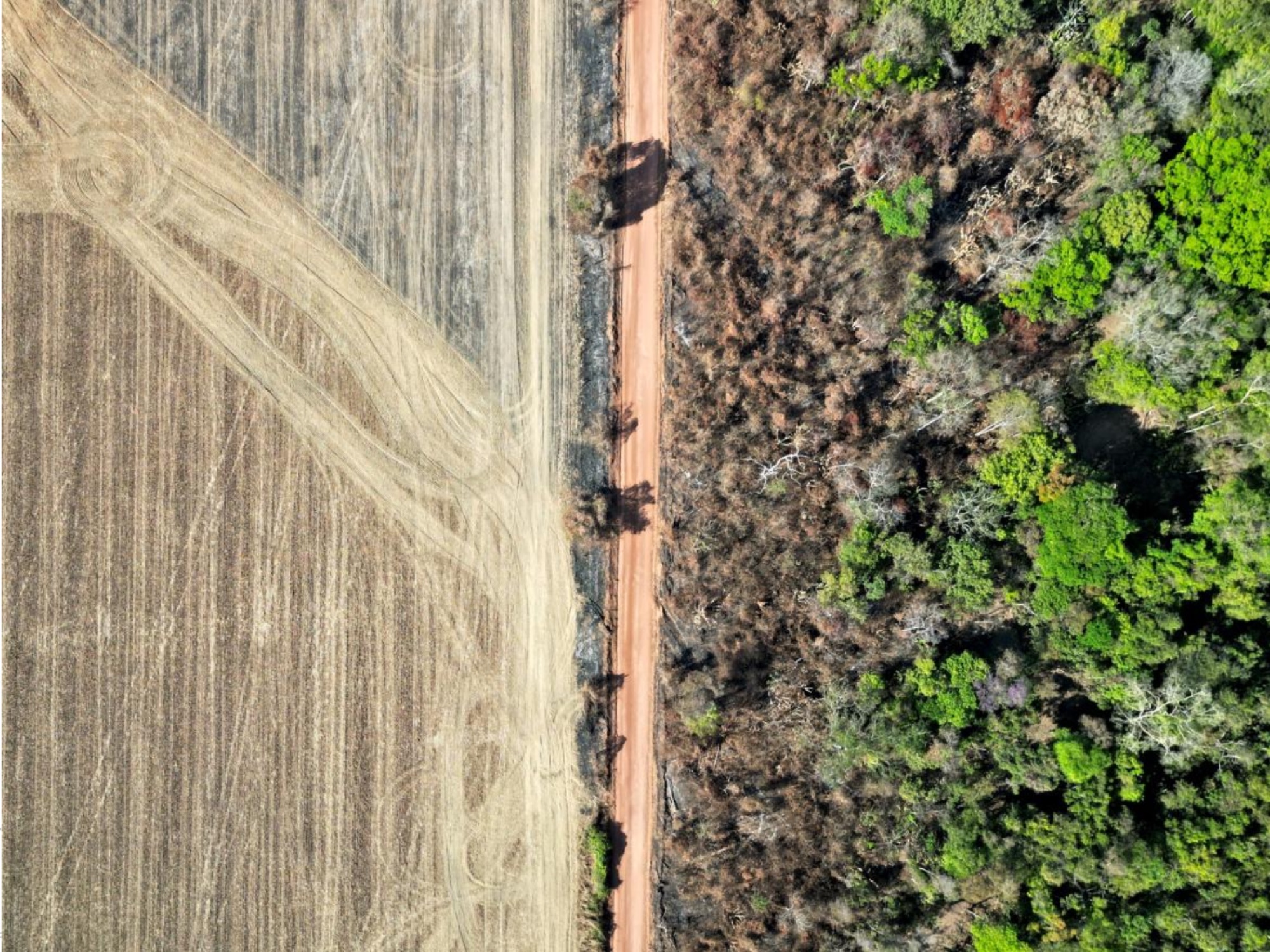
20 July 2026Wildfire leaves a long shadow over Amazonian forests. New research presented by Dr. João Pompeu at the 2026 meeting of the Association for Tropical Biology and Conservation (ATBC) shows that forests in the western Amazon remain shorter, structurally simpler and lower in carbon for at least four decades after they burn, recovering to only about 90% of the biomass of comparable unburned forest even 40 years on.
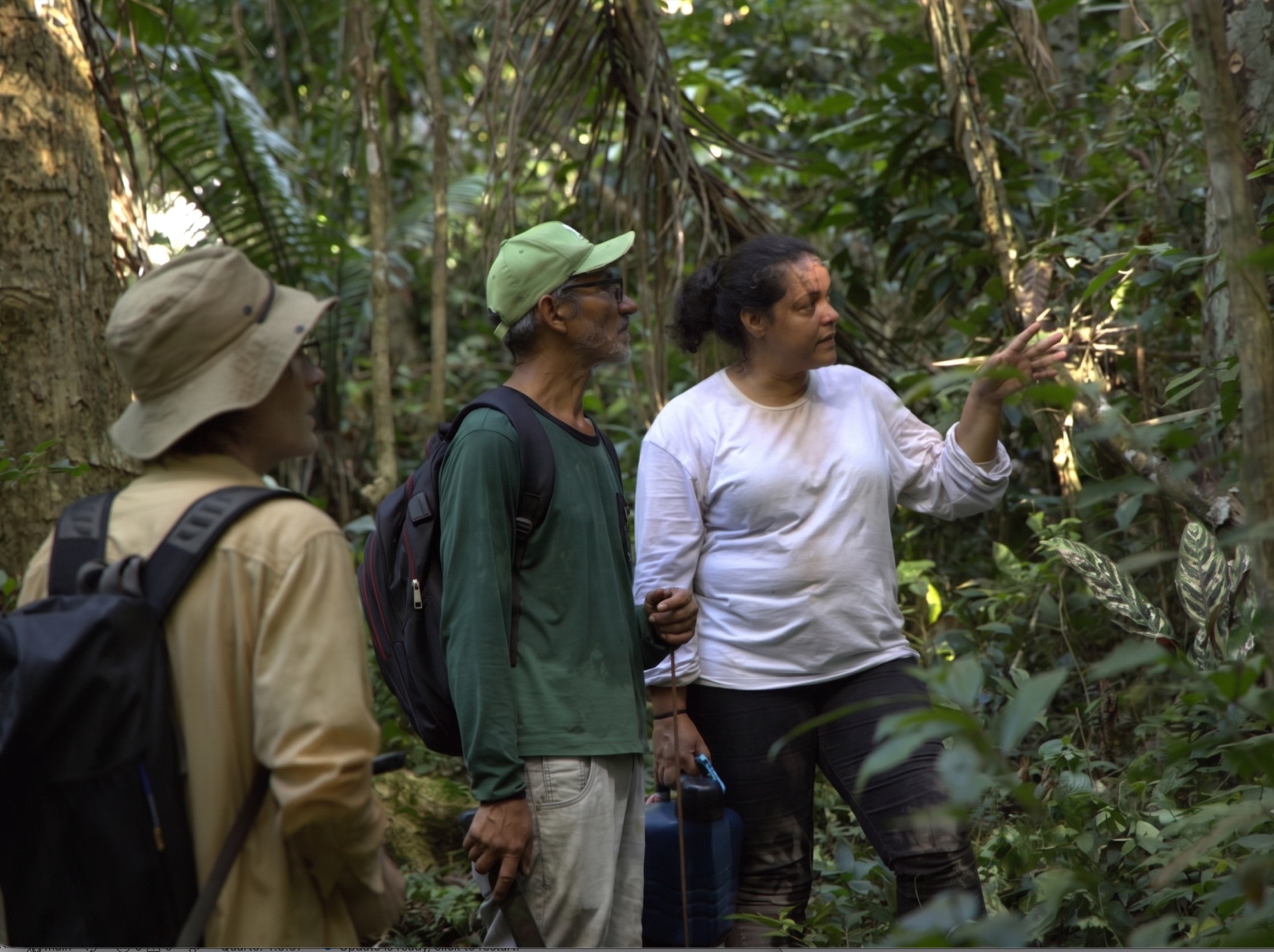
The study, part of the Amazon PyroCarbon project (FAPESP/NERC), focused on the state of Acre in Brazil, a region of terra firme forest that sits on an active agricultural frontier, is prone to drought, and was heavily burned during past El Niño droughts. To track how forests change in the years after fire, the team combined a locally validated fire-mapping product with spaceborne Lidar from NASA’s GEDI mission aboard the International Space Station. From roughly 150,000 high-quality Lidar footprints collected between 2019 and 2025, the analysis retained 1,925 burned-forest samples, each matched against nearby unburned reference forest. Because forests had burned in different years, the comparison effectively reconstructs a 40-year recovery sequence from a single window of satellite observations.
Three findings stood out:
Fire does not target the forests with the highest biomass. Forests hit by exceptional fires held no more biomass beforehand than forests that experienced ordinary fires, suggesting that the most extreme fire events are not simply burning the densest, most carbon-rich stands.
Recovery is slow and incomplete. Aboveground biomass climbed only gradually with time since fire, reaching on average about 90% of unburned reference forest after roughly 40 years. In other words, four decades is not long enough for these forests to fully recover the carbon lost to fire, and the lag between burning and tree death means losses continue to register for years after the flames have passed.
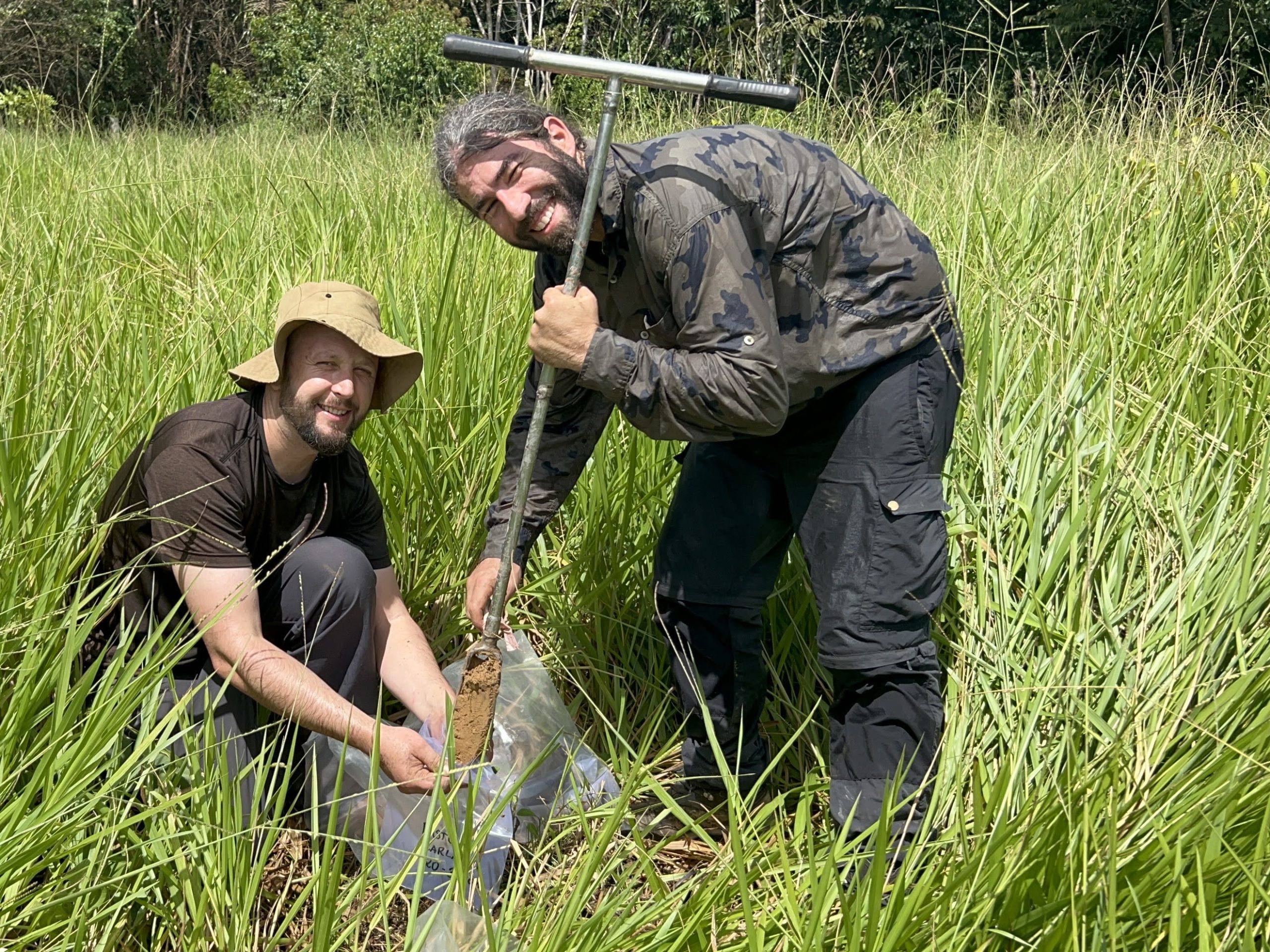
Location and soil matter. Forests closer to roads and forest edges were more strongly affected, consistent with these being the most fire-exposed and degraded margins. Taller, higher-biomass forests showed the largest structural change, ending up shorter and less vertically complex. Soil organic carbon was linked to both standing biomass and canopy structure, raising a question the PyroCarbon project is set up to answer: how much does pyrogenic carbon (charcoal) deposited by the fires themselves contribute to that soil carbon signal?
The authors are careful to note that much of the variation between forests remains unexplained by the models, a reminder of how many factors affect post-fire recovery. But the central message is clear and timely. With forecasters placing a high probability on El Niño conditions returning later in 2026, and with fire already a serious public-health problem in the region, the results reinforce that preventing fire in the first place is by far the most effective way to conserve these forests. Once a forest burns, recovery is measured in decades, not years.
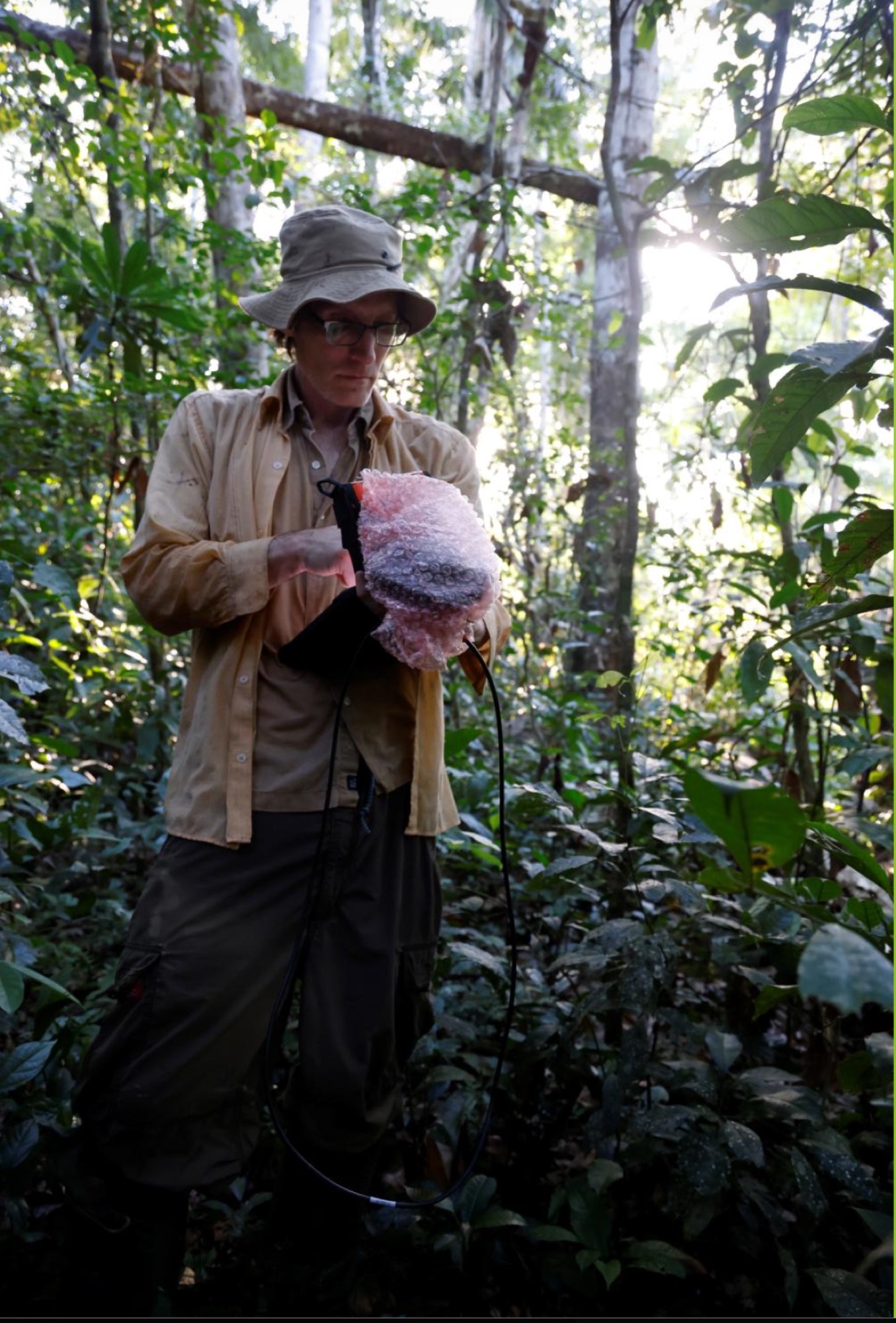
The team also highlights a practical tool: spaceborne Lidar can track post-fire forest condition across vast and remote areas where ground surveys are impossible, offering a way to monitor recovery at scale. The next phase of the PyroCarbon project (FAPESP 2021/00976-4 and 2023/15402-9, with NERC NE/W001691/1) will extend this work across the whole Amazon basin, linking fire, forest structure and soil carbon.
Reference: Pompeu, J., Bieluczyk, W., Naval, M., Barbosa de Camargo, P., Ometto, J.P., Aragão, L., Feldpausch, T.R. & Silva, S. (2026) Long-term impacts of wildfires on Western Amazonian forest structure and biomass. Oral presentation, 62nd Annual Meeting of the Association for Tropical Biology and Conservation (ATBC 2026), Xishuangbanna, China, 28 June – 3 July 2026.
Header photo: João Pompeu.