
Posted by Ted Feldpausch
26 October 2026Fire is changing the microclimate beneath Amazon forest canopies, and we cannot yet predict where or how. This fully supervised PhD will build and test the sensors, models and machine learning needed to forecast which forests are warming, drying and becoming flammable.
Wildfire, degradation, land-use change and climate extremes open the forest canopy and alter the microclimate beneath it. Forests get warmer and drier, more trees die, and the forest becomes easier to burn. Predicting these changes needs fine-scale measurements and models, yet both remain poorly tested in the tropics. Low-cost sensors drift, fail and vary with design and placement. Physics-based microclimate models have rarely been checked against dense vertical profiles across burned and degraded forest. And scaling point measurements up to landscapes adds uncertainty that is seldom quantified.
The doctoral researcher will develop and test an integrated sensing and modelling framework for predicting fine-scale climate in complex, data-sparse environments, using Amazon forests as a demanding test case. It has four objectives:
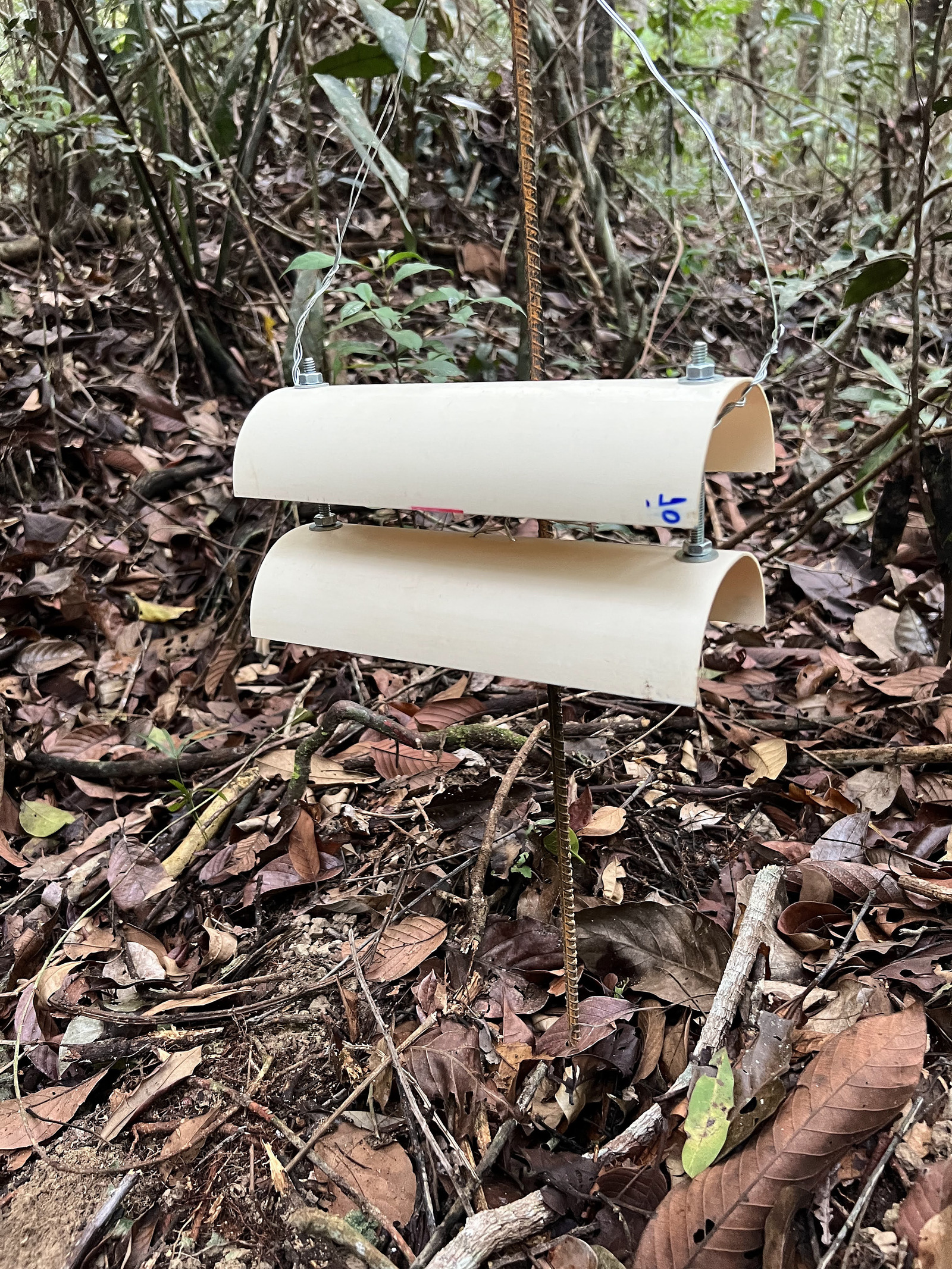
The project draws on the large environmental sensor network and datasets of the Amazon PyroCarbon Project, which records soil temperature, soil moisture and near-surface air temperature across forests with contrasting fire and land-use histories. These are complemented by open remote sensing and land-use data, and by the open-source microclimate models developed by Prof Ilya Maclean’s group at the University of Exeter, already validated across tropical forest sites worldwide. An industry sensor partner will support testing of prototype devices, offering a possible route to a placement.
The supervisory team is Prof Ted Feldpausch (lead), Prof Ilya Maclean and Dr Oscar Kennedy-Blundell.
You do not need to be a forest ecologist. We welcome applicants with a background in physics, engineering, computer science, mathematics, environmental science, geography, ecology or a related discipline. Strong quantitative skills and programming experience (e.g. R, Python or MATLAB) are essential. Experience with environmental sensors or electronics, numerical or statistical modelling, machine learning, remote sensing or GIS would be an advantage, but training will be provided.
The doctoral researcher will take a leading role in shaping the project and can emphasise sensor development, modelling or data science. Training covers sensor design and calibration, physics-based and statistical modelling, machine learning, geospatial analysis, R and Python including high-performance computing, and reproducible research practice. Fieldwork in Brazil is possible, subject to research permits. Alternatively, the project can be completed as a desk-based study using existing data and ongoing data collection by partners across Amazonia. The methods developed will transfer well beyond the tropics, to environmental monitoring in agriculture, cities, conservation and wildfire management.
Applications close at midday on Tuesday 8 December 2026, for entry in September 2027.
This is a fully funded studentship, funded by the Engineering and Physical Sciences Research Council (EPSRC) Doctoral Landscape Award at the University of Exeter. For eligible applicants it covers UK tuition fees, a tax-free stipend of £21,805 per year for up to 3.5 years, and a £5,000 research training support grant. Please check the residence eligibility criteria before applying. General interviews are likely between 15 and 24 February 2027, and references are due by 8 January 2027.
Project enquiries to Prof Ted Feldpausch, t.r.feldpausch@exeter.ac.uk. General application enquiries to pgrapplicants@exeter.ac.uk.
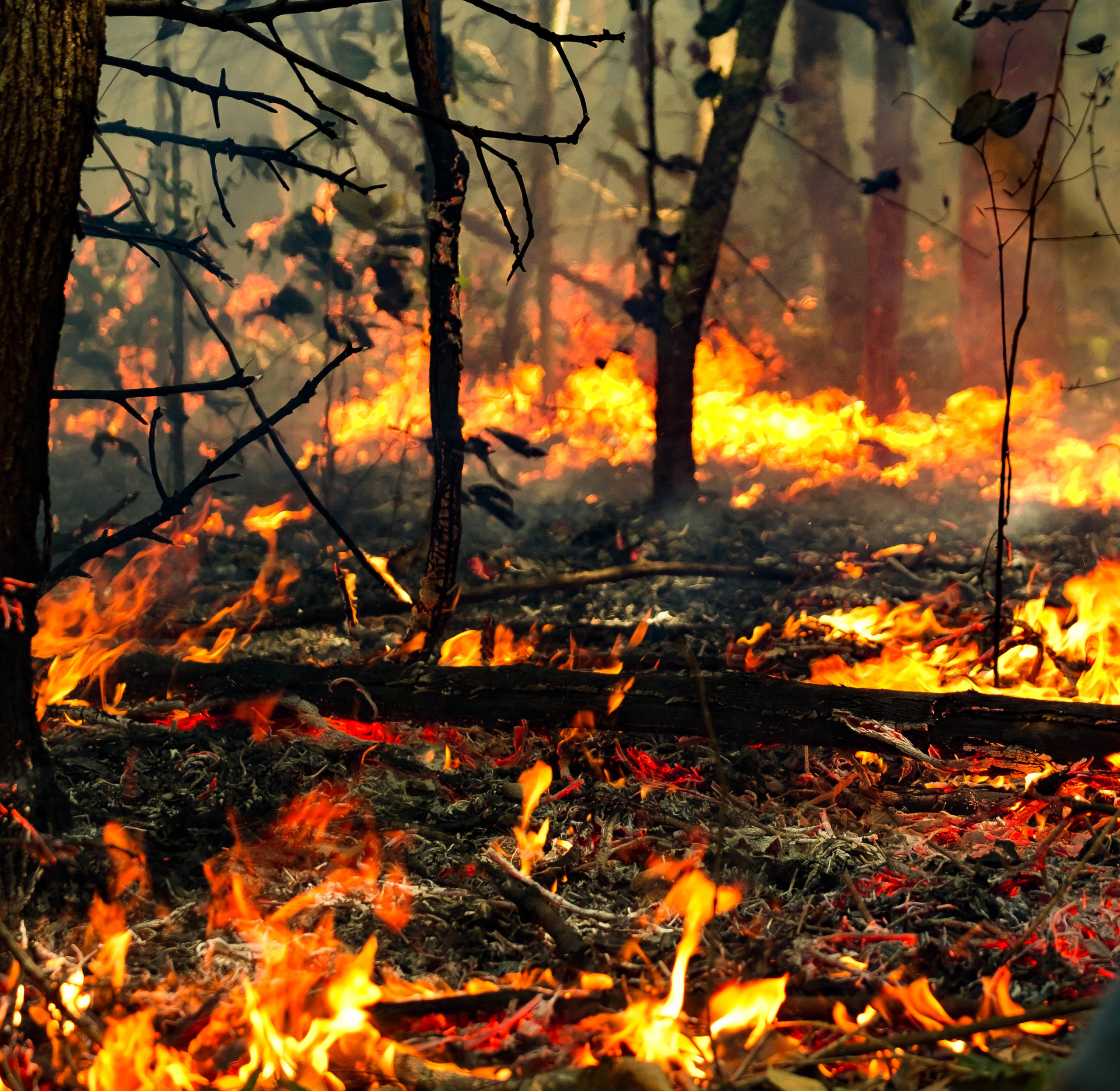
Header photo: © Paulo Brando. Fire in southern Amazonia.